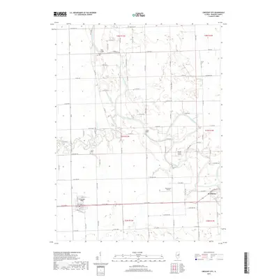
2018 Map of Crescent City
USGS Topo · Published 2018About this map
The Iroquois River meanders across this rural Iroquois County landscape, defining the character of the region as it flows toward Watseka in the east. In this portion of Illinois, the river and its tributaries, including Spring Creek and Sugar Creek, create a complex network of waterways that have long influenced local settlement patterns and agricultural infrastructure. Small rural landmarks like Plato Bridge and Fiddler Bridge provide essential crossing points, while family and community history is preserved at the Wilson Cem, Lyman Cem, Flesher Cem, and Pierce Cem scattered throughout the townships.
Find a feature on this map
79 named features on this map. Tap any name to fly to it.
Don’t see what you’re looking for? This feature index may not catch every label — zoom into the map to look around manually.
Map Details
Editions of this 2018 Crescent City Map
This is the sole edition of this map. No revisions or reprints were ever made.
Other maps of this area

1935 · Watseka
USGS Topo · 1:48,000

1938 · Milford
USGS Topo · 1:48,000

1939 · Watseka
USGS Topo · 1:62,500

1939 · Cissna Park
USGS Topo · 1:62,500

1944 · Milford
USGS Topo · 1:62,500

1944 · Gilman
USGS Topo · 1:62,500

1946 · Gilman
USGS Topo · 1:62,500

1949 · Cissna Park
USGS Topo · 1:62,500

1953 · Danville
USGS Topo · 1:250,000

1955 · Danville
USGS Topo · 1:250,000