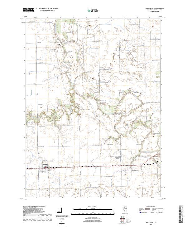
2024 Map of Crescent City
USGS Topo · Published 2024About this map
Crescent City sits along a prominent grid of rural roads in Iroquois County, where the meandering course of the Iroquois River dictates the local geography. This drainage network, which also includes Spring Creek and Sugar Creek, provides a natural contrast to the structured township-and-range lines that define the agricultural landscape. Genealogists and local historians can locate several family and community burial grounds throughout the area, such as Wilson Cem, Lyman Cem, Flesher Cem, and Pierce Cem. Small-scale aviation is represented by facilities like Braden Farms Airport and Dietchweiler Airport, reflecting the region's vast open spaces and logistical needs. While Watseka appears at the eastern edge of the survey, the map focuses on the rural reaches where water features like Fish Lake and seasonal creeks are the primary landmarks between farmsteads.
Find a feature on this map
73 named features on this map. Tap any name to fly to it.
Don’t see what you’re looking for? This feature index may not catch every label — zoom into the map to look around manually.
Map Details
Editions of this 2024 Crescent City Map
This is the sole edition of this map. No revisions or reprints were ever made.
Other maps of this area

1935 · Watseka
USGS Topo · 1:48,000

1938 · Milford
USGS Topo · 1:48,000

1939 · Watseka
USGS Topo · 1:62,500

1939 · Cissna Park
USGS Topo · 1:62,500

1944 · Milford
USGS Topo · 1:62,500

1944 · Gilman
USGS Topo · 1:62,500

1946 · Gilman
USGS Topo · 1:62,500

1949 · Cissna Park
USGS Topo · 1:62,500

1953 · Danville
USGS Topo · 1:250,000

1955 · Danville
USGS Topo · 1:250,000