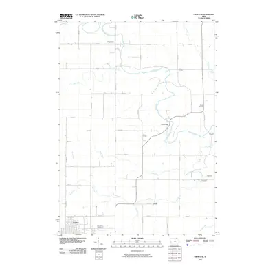
2010 Map of Cresco NE
USGS Topo · Published 2010About this map
Kendallville sits along a winding bend of the Upper Iowa River in this northeastern Howard County landscape. The survey documents a rural Iowa farming region characterized by a high density of local burial grounds, including the Saint Kierans Cemetery and Fremont Cemetery to the north, and the Eddy Cemetery and Barnes Cemetery further south. These family and community sites, such as the Ferkindstad Farm Cemetery, offer significant points of interest for genealogists tracing early settlement patterns in the area.
Find a feature on this map
51 named features on this map. Tap any name to fly to it.
Don’t see what you’re looking for? This feature index may not catch every label — zoom into the map to look around manually.
Map Details
Editions of this 2010 Cresco NE Map
This is the sole edition of this map. No revisions or reprints were ever made.
Other maps of this area

1906 · Decorah
USGS Topo · 1:125,000

1954 · Mason City
USGS Topo · 1:250,000

1957 · Mason City
USGS Topo · 1:250,000

1958 · Mason City
USGS Topo · 1:250,000

1958 · La Crosse
USGS Topo · 1:250,000

1961 · La Crosse
USGS Topo · 1:250,000

1965 · La Crosse
USGS Topo · 1:250,000

1965 · Greenleafton
USGS Topo · 1:24,000

1965 · Harmony
USGS Topo · 1:24,000

1965 · Canton
USGS Topo · 1:24,000