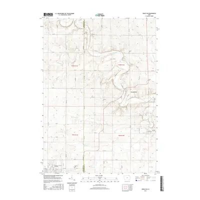
2015 Map of Cresco NE
USGS Topo · Published 2015About this map
The Upper Iowa River carves a winding path through the northeast corner of Howard and Winneshiek counties, anchoring a landscape defined by small river settlements and family farm plots. This part of Iowa maintains a high density of small burial grounds that reflect the area's 19th-century immigrant heritage, including the First Orleans Lutheran Cem and the nearby Ferkindstad Farm Cem. In the south, the city of Cresco displays a formal grid of avenues and streets, including W Elm St and Yankee Ave, while the small community of Kendallville sits positioned at a key river crossing. Waterways like Silver Cr, Bigalks Cr, and Mullens Cr drain the surrounding fields, leading toward the limestone features and small cascades of Black Falls.
Find a feature on this map
71 named features on this map. Tap any name to fly to it.
Don’t see what you’re looking for? This feature index may not catch every label — zoom into the map to look around manually.
Map Details
Editions of this 2015 Cresco NE Map
This is the sole edition of this map. No revisions or reprints were ever made.
Other maps of this area

1906 · Decorah
USGS Topo · 1:125,000

1954 · Mason City
USGS Topo · 1:250,000

1957 · Mason City
USGS Topo · 1:250,000

1958 · Mason City
USGS Topo · 1:250,000

1958 · La Crosse
USGS Topo · 1:250,000

1961 · La Crosse
USGS Topo · 1:250,000

1965 · La Crosse
USGS Topo · 1:250,000

1965 · Greenleafton
USGS Topo · 1:24,000

1965 · Harmony
USGS Topo · 1:24,000

1965 · Canton
USGS Topo · 1:24,000