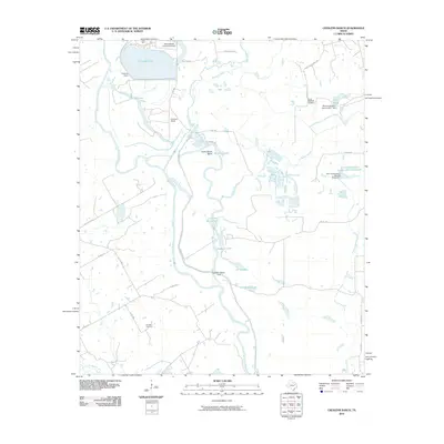
2010 Map of Creslenn Ranch
USGS Topo · Published 2010About this map
Creslenn Ranch occupies a prominent position within this landscape, where the meandering Trinity River shapes the local topography through features like Cottonwood Bend. The area is defined by its sophisticated water management and industrial infrastructure, ranging from the large Trinidad Lake and its accompanying Trinidad Levee to the private Texas Utilities Company Airport. These elements reflect the integration of utility operations and ranching in Henderson County during the early 21st century.
Find a feature on this map
40 named features on this map. Tap any name to fly to it.
Don’t see what you’re looking for? This feature index may not catch every label — zoom into the map to look around manually.
Map Details
Editions of this 2010 Creslenn Ranch Map
This is the sole edition of this map. No revisions or reprints were ever made.
Other maps of this area

1949 · Athens
USGS Topo · 1:62,500

1949 · Tennessee Colony
USGS Topo · 1:62,500

1950 · Athens
USGS Topo · 1:62,500

1950 · Tennessee Colony
USGS Topo · 1:62,500

1953 · Palestine
USGS Topo · 1:250,000

1954 · Dallas
USGS Topo · 1:250,000

1954 · Waco
USGS Topo · 1:250,000

1955 · Waco
USGS Topo · 1:250,000

1956 · Tyler
USGS Topo · 1:250,000

1957 · Palestine
USGS Topo · 1:250,000