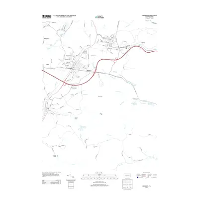
2013 Map of Cresson
USGS Topo · Published 2013About this map
Cresson and Gallitzin anchor this mountainous section of the Allegheny Front, where the landscape is defined by the steep gaps and water management systems of Cambria and Blair Counties. The complex topography is marked by several notable breaks in the ridge, including Sugar Run Gap, Blair Gap, and Big Spring Gap. This area is a critical hydrological divide, evidenced by the numerous reservoirs such as Hollidaysburg Reservoir and the Lily Number One Reservoir, which capture runoff from the surrounding peaks. Distinctive local landmarks like The Muleshoe and Allegrippus highlight the engineering challenges posed by the terrain. Smaller settlements such as Sankertown, Hoguetown, and Lilly are clustered along the established road networks and drainage of the Little Conemaugh River, reflecting the region's long history of industry and transit through the high passes.
Find a feature on this map
160 named features on this map. Tap any name to fly to it.
Don’t see what you’re looking for? This feature index may not catch every label — zoom into the map to look around manually.
Map Details
Editions of this 2013 Cresson Map
This is the sole edition of this map. No revisions or reprints were ever made.
Other maps of this area

1902 · Ebensburg
USGS Topo · 1:62,500

1902 · Patton
USGS Topo · 1:62,500

1902 · Hollidaysburg
USGS Topo · 1:62,500

1903 · Hollidaysburg
USGS Topo · 1:62,500

1904 · Patton
USGS Topo · 1:62,500

1904 · Ebensburg
USGS Topo · 1:62,500

1920 · Altoona
USGS Topo · 1:62,500

1922 · Altoona
USGS Topo · 1:62,500

1943 · Punxsutawney
USGS Topo · 1:125,000

1953 · Pittsburgh
USGS Topo · 1:250,000