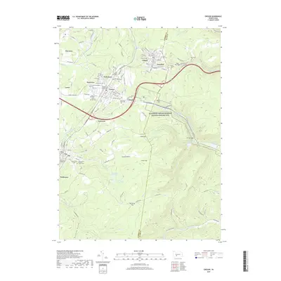
2019 Map of Cresson
USGS Topo · Published 2019About this map
Allegheny Portage Railroad National Historic Site anchors this map, preserving the path of the 19th-century engineering marvel that lifted canal boats over the mountain crest. The high-altitude terrain is defined by gaps and hollows, including Sugar Run Gap and Blair Gap, which historically dictated the flow of transport and water across the Cambria and Blair county line. Modern rail operations continue along the Norfolk Southern line, which winds through the steep grades near Gallitzin and Tunnelhill. Numerous denominational cemeteries, such as Saint Francis Xavier Cem and Saint Patricks Cem, reflect the ethnic and religious heritage of the coal and rail workers who settled in the boroughs of Cresson and Lilly. The landscape is further marked by water management features like The Muleshoe and the Hollidaysburg Reservoir, crucial for the region's industrial and municipal needs.
Find a feature on this map
141 named features on this map. Tap any name to fly to it.
Don’t see what you’re looking for? This feature index may not catch every label — zoom into the map to look around manually.
Map Details
Editions of this 2019 Cresson Map
This is the sole edition of this map. No revisions or reprints were ever made.
Other maps of this area

1902 · Ebensburg
USGS Topo · 1:62,500

1902 · Patton
USGS Topo · 1:62,500

1902 · Hollidaysburg
USGS Topo · 1:62,500

1903 · Hollidaysburg
USGS Topo · 1:62,500

1904 · Patton
USGS Topo · 1:62,500

1904 · Ebensburg
USGS Topo · 1:62,500

1920 · Altoona
USGS Topo · 1:62,500

1922 · Altoona
USGS Topo · 1:62,500

1943 · Punxsutawney
USGS Topo · 1:125,000

1953 · Pittsburgh
USGS Topo · 1:250,000