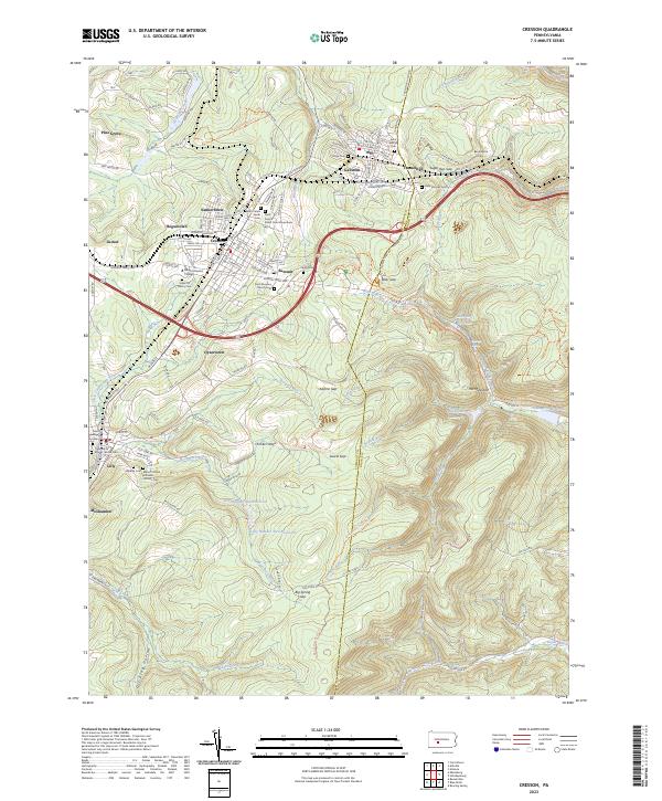
2023 Map of Cresson
USGS Topo · Published 2023About this map
The ridge-and-valley landscape of the Allegheny Front dominates this study of Cresson, a region defined by its industrial transit history and numerous religious institutions. High atop the plateau, Mount Aloysius College and a dense collection of cemeteries, including Saint Francis Xavier Cem and Saint Aloysius Church Cem, reflect the area's long-standing Catholic heritage. The terrain is marked by significant engineering feats required to navigate the steep descent toward the east, most notably at The Muleshoe, where the landscape drops sharply into the gaps.
Find a feature on this map
99 named features on this map. Tap any name to fly to it.
Don’t see what you’re looking for? This feature index may not catch every label — zoom into the map to look around manually.
Map Details
Editions of this 2023 Cresson Map
This is the sole edition of this map. No revisions or reprints were ever made.
Other maps of this area
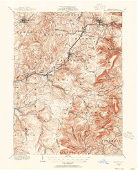
1902 · Ebensburg
USGS Topo · 1:62,500
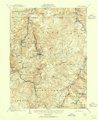
1902 · Patton
USGS Topo · 1:62,500
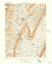
1902 · Hollidaysburg
USGS Topo · 1:62,500
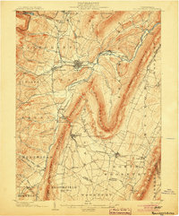
1903 · Hollidaysburg
USGS Topo · 1:62,500
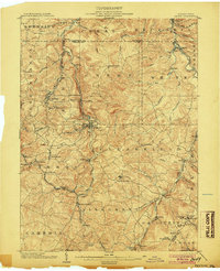
1904 · Patton
USGS Topo · 1:62,500
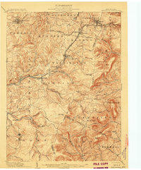
1904 · Ebensburg
USGS Topo · 1:62,500
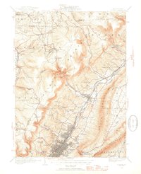
1920 · Altoona
USGS Topo · 1:62,500
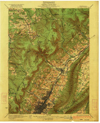
1922 · Altoona
USGS Topo · 1:62,500
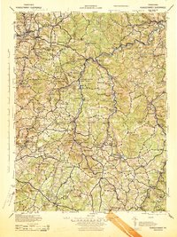
1943 · Punxsutawney
USGS Topo · 1:125,000

1953 · Pittsburgh
USGS Topo · 1:250,000