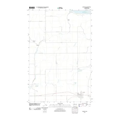
2011 Map of Creston
USGS Topo · Published 2011About this map
Creston and the settlement of Sherman anchor this Lincoln County landscape, showing the town layouts and the rural road network that defines the region. The northern boundary is shaped by the expansive waters of Franklin D Roosevelt Lake, where Moonshine Bay meets the dramatic topography of Jump Canyon. This high-desert terrain is marked by seasonal drainages and draws, such as Sage Hen Draw and Crazy Run, which reflect the local character of the open country.
Find a feature on this map
36 named features on this map. Tap any name to fly to it.
Don’t see what you’re looking for? This feature index may not catch every label — zoom into the map to look around manually.
Map Details
Editions of this 2011 Creston Map
This is the sole edition of this map. No revisions or reprints were ever made.
Other maps of this area

1948 · Wilbur
USGS Topo · 1:62,500

1948 · Lincoln
USGS Topo · 1:62,500

1950 · Lincoln
USGS Topo · 1:62,500

1950 · Wilbur
USGS Topo · 1:62,500

1953 · Ritzville
USGS Topo · 1:250,000

1959 · Ritzville
USGS Topo · 1:250,000

1965 · Ritzville
USGS Topo · 1:250,000

1969 · Telford
USGS Topo · 1:24,000

1969 · Creston Butte
USGS Topo · 1:24,000

1969 · Wagner Lake
USGS Topo · 1:24,000