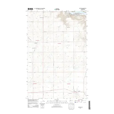
2013 Map of Creston
USGS Topo · Published 2013About this map
Creston anchors the southern portion of this landscape, situated at the intersection of a developing road network that includes NW Anderson St and Chipsite Rd E. To the north, the terrain drops dramatically into the Lake Roosevelt National Recreation Area, where the backed-up waters of the Columbia River form Franklin D Roosevelt Lake. This geographic transition from the high plateau down to the shoreline is marked by steep landforms such as Tamarack Canyon and Jump Canyon.
Find a feature on this map
31 named features on this map. Tap any name to fly to it.
Don’t see what you’re looking for? This feature index may not catch every label — zoom into the map to look around manually.
Map Details
Editions of this 2013 Creston Map
This is the sole edition of this map. No revisions or reprints were ever made.
Other maps of this area

1948 · Wilbur
USGS Topo · 1:62,500

1948 · Lincoln
USGS Topo · 1:62,500

1950 · Lincoln
USGS Topo · 1:62,500

1950 · Wilbur
USGS Topo · 1:62,500

1953 · Ritzville
USGS Topo · 1:250,000

1959 · Ritzville
USGS Topo · 1:250,000

1965 · Ritzville
USGS Topo · 1:250,000

1969 · Telford
USGS Topo · 1:24,000

1969 · Creston Butte
USGS Topo · 1:24,000

1969 · Wagner Lake
USGS Topo · 1:24,000