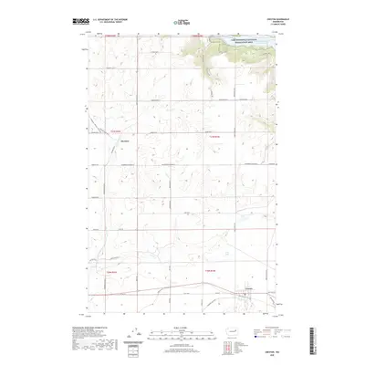
2020 Map of Creston
USGS Topo · Published 2020About this map
Creston anchors the southern portion of this Lincoln County landscape, situated where the high plateau begins its descent toward the Columbia River basin. This modern topographic study reveals a rural expanse defined by deep erosional features like Sage Hen Draw and Halverson Canyon, which cut through the agricultural tablelands. The northern boundary is dominated by the Lake Roosevelt National Recreation Area and the waters of Franklin D Roosevelt Lake, a massive reservoir that transformed the regional geography. Between the larger town and the lake lies the smaller settlement of Sherman, surrounded by a network of family-named roads such as Stigenwalt Rd E and Lartzen Rd. Water sources like Kunz Lake and Goose Creek dot the central plains, illustrating the drainage patterns that support the local ranching and farming operations.
Find a feature on this map
54 named features on this map. Tap any name to fly to it.
Don’t see what you’re looking for? This feature index may not catch every label — zoom into the map to look around manually.
Map Details
Editions of this 2020 Creston Map
This is the sole edition of this map. No revisions or reprints were ever made.
Other maps of this area

1948 · Wilbur
USGS Topo · 1:62,500

1948 · Lincoln
USGS Topo · 1:62,500

1950 · Lincoln
USGS Topo · 1:62,500

1950 · Wilbur
USGS Topo · 1:62,500

1953 · Ritzville
USGS Topo · 1:250,000

1959 · Ritzville
USGS Topo · 1:250,000

1965 · Ritzville
USGS Topo · 1:250,000

1969 · Telford
USGS Topo · 1:24,000

1969 · Creston Butte
USGS Topo · 1:24,000

1969 · Wagner Lake
USGS Topo · 1:24,000