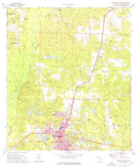
1973 Map of Crestview North
USGS Topo · Published 1976About this map
The northern reaches of Crestview and the surrounding Okaloosa County landscape are defined by the convergence of industrial progress and deep pine woods in the early 1970s. The Louisville and Nashville railroad serves as the primary north-south corridor, connecting the rural communities of Auburn, Garden City, and Campton. To the west, the Blackwater River State Forest preserves a labyrinth of creeks including Murder Creek and Bear Branch, while historical river crossings like Fauck Ferry hint at earlier transportation networks along the Yellow River system.
Find a feature on this map
78 named features on this map. Tap any name to fly to it.
Don’t see what you’re looking for? This feature index may not catch every label — zoom into the map to look around manually.
Map Details
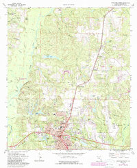
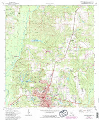
Editions of this 1973 Crestview North Map
3 editions found
Other maps of this area

1934 · Holt
USGS Topo · 1:48,000

1934 · Niceville
USGS Topo · 1:48,000

1936 · Niceville
USGS Topo · 1:62,500

1937 · Holt
USGS Topo · 1:62,500

1949 · Crestview
USGS Topo · 1:62,500

1949 · Laurel Hill
USGS Topo · 1:62,500

1950 · Laurel Hill
USGS Topo · 1:62,500

1951 · Crestview
USGS Topo · 1:62,500

1956 · Niceville
USGS Topo · 1:62,500

1956 · Holt
USGS Topo · 1:62,500