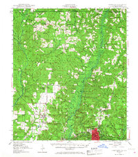
1949 Map of Crestview
USGS Topo · Published 1968About this map
The Blackwater River and Yellow River systems define this northern Florida landscape, where the Blackwater River State Forest meets the Conecuh National Forest at the Alabama line. The regional hub of Crestview sits at the intersection of the Louisville and Nashville railroad and the historic Spanish Trail, surrounded by smaller agriculture-driven communities like Baker, Milligan, and Auburn.
Find a feature on this map
84 named features on this map. Tap any name to fly to it.
Don’t see what you’re looking for? This feature index may not catch every label — zoom into the map to look around manually.
Map Details
Editions of this 1949 Crestview Map
2 editions found
Other maps of this area

1934 · Holt
USGS Topo · 1:48,000

1934 · Harold
USGS Topo · 1:62,500

1934 · Niceville
USGS Topo · 1:48,000

1936 · Niceville
USGS Topo · 1:62,500

1937 · Holt
USGS Topo · 1:62,500

1937 · Harold
USGS Topo · 1:62,500

1938 · Harold
USGS Topo · 1:62,500

1948 · Munson
USGS Topo · 1:62,500

1949 · Crestview
USGS Topo · 1:62,500

1949 · Laurel Hill
USGS Topo · 1:62,500