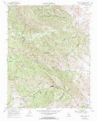
1955 Map of Crevison Peak
USGS Topo · Published 1956About this map
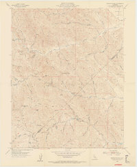
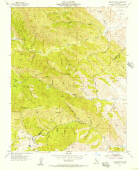
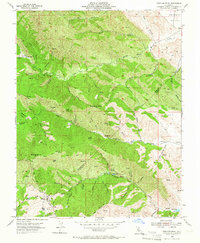
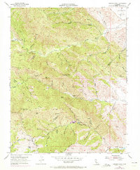
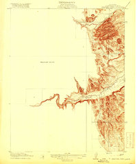
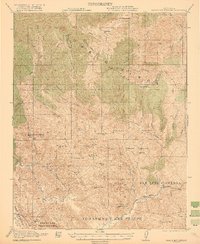
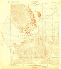
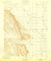
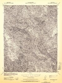
Crevison Peak rises above a landscape defined by ranching and resource extraction along the Stanislaus and Merced county line in the mid-1950s. The presence of Richey Camp, China Cabin Flat, and Fifield Ranch suggests a region of dispersed agricultural activity and established homesteads. Industrial history is visible at the Bald Eagle Mine, situated north of Mountain Valley. Water management in this semi-arid terrain is indicated by numerous windmills and named springs, while the drainage network of Garzas Creek and Romero Creek shapes the local topography. This period of the Diablo Range shows a network of unimproved dirt roads and trails connecting high peaks like Eli Hill and Bone Spring Hill, reflecting the era's land use before more intensive development or large-scale water projects moved into the surrounding valleys.
Find a feature on this map
57 named features on this map. Tap any name to fly to it.
Don’t see what you’re looking for? This feature index may not catch every label — zoom into the map to look around manually.
Map Details
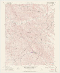
Editions of this 1955 Crevison Peak Map
6 editions found
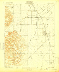
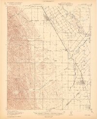
Other maps of this area
1917 · Newman
USGS Topo · 1:31,680
1919 · Orestimba
USGS Topo · 1:62,500
1919 · Orestimba Creek
USGS Topo · 1:31,680

1920 · Pacheco Pass
USGS Topo · 1:62,500
1921 · Gilroy Hot Springs
USGS Topo · 1:62,500
1922 · San Luis Creek
USGS Topo · 1:31,680
1922 · Howard Ranch
USGS Topo · 1:31,680
1938 · Mt. Boardman
USGS Topo · 1:62,500

1939 · Gilroy Hot Springs
USGS Topo · 1:62,500

1940 · Gilroy Hot Springs
USGS Topo · 1:62,500