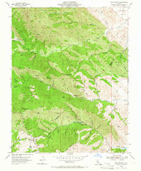
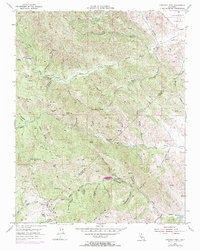
1955 Map of Crevison Peak
USGS Topo · Published 1966About this map
Crevison Peak rises as the central landmark of this mid-century survey, anchoring a section of the Diablo Range where the Stanislaus and Merced county lines meet. The landscape is defined by a dense network of canyons and gulches, including the steep-walled Sycamore Canyon and Rough Gulch, which drain toward the larger watercourses of Garzas Creek and Pacheco Creek. Settlement is sparse, represented by isolated outposts such as Richey Camp, China Cabin Flat, and Fifield Ranch, suggesting a reliance on ranching and early resource extraction.
Find a feature on this map
60 named features on this map. Tap any name to fly to it.
Don’t see what you’re looking for? This feature index may not catch every label — zoom into the map to look around manually.
Map Details
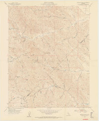
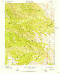
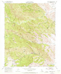
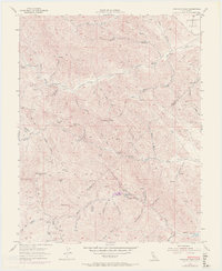
Editions of this 1955 Crevison Peak Map
6 editions found
Other maps of this area

1917 · Newman
USGS Topo · 1:31,680

1919 · Orestimba
USGS Topo · 1:62,500

1919 · Orestimba Creek
USGS Topo · 1:31,680

1920 · Pacheco Pass
USGS Topo · 1:62,500

1921 · Gilroy Hot Springs
USGS Topo · 1:62,500

1922 · San Luis Creek
USGS Topo · 1:31,680

1922 · Howard Ranch
USGS Topo · 1:31,680

1938 · Mt. Boardman
USGS Topo · 1:62,500

1939 · Gilroy Hot Springs
USGS Topo · 1:62,500

1940 · Gilroy Hot Springs
USGS Topo · 1:62,500