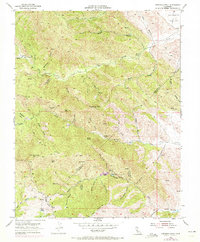
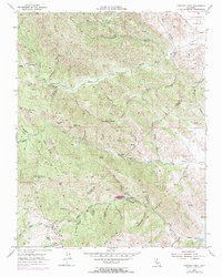
1955 Map of Crevison Peak
USGS Topo · Published 1972About this map
The Diablo Range defines the landscape of this 1955 survey, where the rugged crests of Crevison Peak and Bone Spring Hill separate the drainages of Santa Clara and Stanislaus counties. The map captures a transition in land use, showing early twentieth-century ranching and mining infrastructure before later development. Features like China Cabin Flat and Richey Camp indicate seasonal or permanent habitations, while the presence of tunnels and the Bald Eagle Mine north of Hawk Rock point to the area's history of mineral exploration.
Find a feature on this map
50 named features on this map. Tap any name to fly to it.
Don’t see what you’re looking for? This feature index may not catch every label — zoom into the map to look around manually.
Map Details
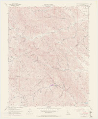
Editions of this 1955 Crevison Peak Map
6 editions found
Other maps of this area

1917 · Newman
USGS Topo · 1:31,680

1919 · Orestimba
USGS Topo · 1:62,500

1919 · Orestimba Creek
USGS Topo · 1:31,680

1920 · Pacheco Pass
USGS Topo · 1:62,500

1921 · Gilroy Hot Springs
USGS Topo · 1:62,500

1922 · San Luis Creek
USGS Topo · 1:31,680

1922 · Howard Ranch
USGS Topo · 1:31,680

1938 · Mt. Boardman
USGS Topo · 1:62,500

1939 · Gilroy Hot Springs
USGS Topo · 1:62,500

1940 · Gilroy Hot Springs
USGS Topo · 1:62,500