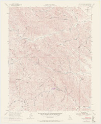
1955 Map of Crevison Peak
USGS Topo · Published 1972About this map
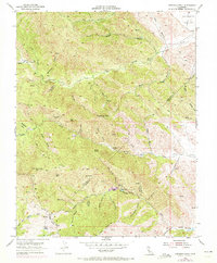
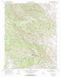
Crevison Peak rises above the transition between Stanislaus Co and Merced Co, defining a landscape where narrow canyons and steep gulches dictate the movement of early ranchers and travelers. Small outposts and working landholdings like Richey Camp, China Cabin Flat, and the Fifield Ranch are connected by a web of jeep trails and creek-side paths. The water network is vital in this arid terrain, with Quinto Creek, Garzas Creek, and Pacheco Creek cutting deep through the hills, while named points like Dry Lake and Tule Lake offer rare collection points in the lower elevations.
Find a feature on this map
55 named features on this map. Tap any name to fly to it.
Don’t see what you’re looking for? This feature index may not catch every label — zoom into the map to look around manually.
Map Details
Editions of this 1955 Crevison Peak Map
6 editions found
Other maps of this area

1917 · Newman
USGS Topo · 1:31,680

1919 · Orestimba
USGS Topo · 1:62,500

1919 · Orestimba Creek
USGS Topo · 1:31,680

1920 · Pacheco Pass
USGS Topo · 1:62,500

1921 · Gilroy Hot Springs
USGS Topo · 1:62,500

1922 · San Luis Creek
USGS Topo · 1:31,680

1922 · Howard Ranch
USGS Topo · 1:31,680

1938 · Mt. Boardman
USGS Topo · 1:62,500

1939 · Gilroy Hot Springs
USGS Topo · 1:62,500

1940 · Gilroy Hot Springs
USGS Topo · 1:62,500