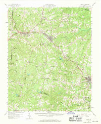
1958 Map of Crewe
USGS Topo · Published 1969About this map
The intersection of the Norfolk and Western Railway and the Southern Railway at Burkeville defines the industrial landscape of Southside Virginia in the late 1950s. This survey highlights the region's transition from agricultural hubs like Jennings Ordinary and Jeffress Store to the railroad-centered growth in Crewe. To the southeast, the expansive Camp Pickett Military Reservation borders the Nottoway River, which winds through the southern portion of the quadrangle.
Find a feature on this map
82 named features on this map. Tap any name to fly to it.
Don’t see what you’re looking for? This feature index may not catch every label — zoom into the map to look around manually.
Map Details
Editions of this 1958 Crewe Map
2 editions found

Other maps of this area

1891 · Farmville
USGS Topo · 1:125,000

1893 · Farmville
USGS Topo · 1:125,000

1897 · Amelia
USGS Topo · 1:125,000

1918 · Lawrenceville
USGS Topo · 1:62,500

1920 · Lawrenceville
USGS Topo · 1:48,000

1921 · Lawrenceville
USGS Topo · 1:62,500

1942 · Lawrenceville
USGS Topo · 1:62,500

1943 · Amelia
USGS Topo · 1:31,680

1943 · Richmond
USGS Topo · 1:250,000

1947 · Roanoke
USGS Topo · 1:250,000