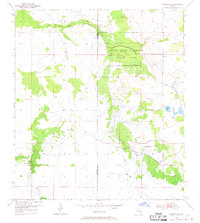
1953 Map of Crewsville
USGS Topo · Published 1967About this map
Highlands Hammock State Park dominates the northeastern portion of this mid-century landscape, preserving a slice of interior Florida as it appeared during the early 1950s. The region is defined by a complex network of wetlands and intermittent waterways, most notably the winding course of Little Charley Bowlegs Creek along the northern border. The small settlement of Crewsville sits near the center, serving as a focal point for the surrounding rural territory that straddles the Hardee Co Highlands Co boundary.
Find a feature on this map
12 named features on this map. Tap any name to fly to it.
Don’t see what you’re looking for? This feature index may not catch every label — zoom into the map to look around manually.
Map Details
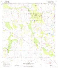
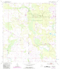
Editions of this 1953 Crewsville Map
4 editions found
Other maps of this area

1952 · Lake Arbuckle SW
USGS Topo · 1:24,000

1952 · Sebring
USGS Topo · 1:24,000

1953 · Avon Park
USGS Topo · 1:24,000

1953 · Lake June In Winter
USGS Topo · 1:24,000

1953 · Crewsville SE
USGS Topo · 1:24,000

1953 · Crewsville
USGS Topo · 1:24,000

1956 · Sweetwater
USGS Topo · 1:24,000

1956 · Crewsville SW
USGS Topo · 1:24,000

1956 · Griffins Corner
USGS Topo · 1:24,000

1956 · Fort Pierce
USGS Topo · 1:250,000