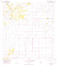
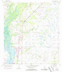
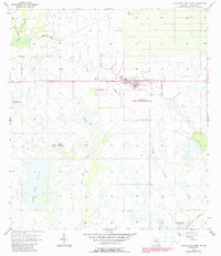
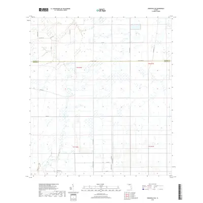
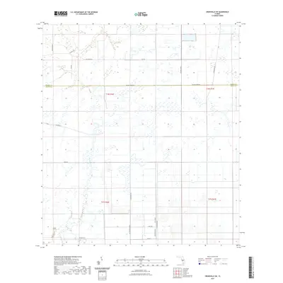
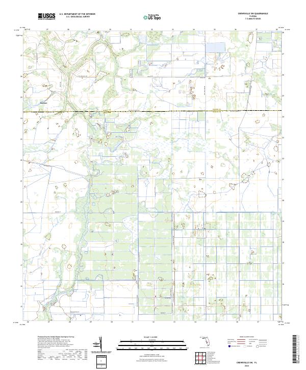
1956 Map of Crewsville SW
USGS Topo · Published 1973About this map
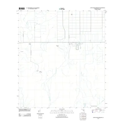
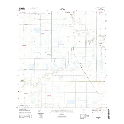
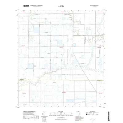
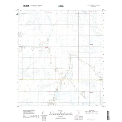
Fish Branch winds through the northwestern corner of this landscape, marking a terrain defined by intermittent drainage and low-lying wetlands. The survey reveals a sparsely settled interior where the county line between Hardee and DeSoto counties cuts through a series of shallow depressions and prairie. Water management and natural hydrology dominate the map, from the presence of a Flowing Well in the north to the south-flowing course of Mossy Gully and Joshua creek. The mapping of these minor tributaries and gully systems provides a detailed record of the Florida interior before significant land development, showing a network of unimproved roads and light-duty paths that served the agricultural interests of the mid-20th century.
Find a feature on this map
6 named features on this map. Tap any name to fly to it.
Don’t see what you’re looking for? This feature index may not catch every label — zoom into the map to look around manually.
Map Details
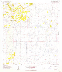
Editions of this 1956 Crewsville SW Map
3 editions found
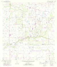
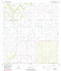
Historical Maps of DeSoto County Through Time
42 maps found
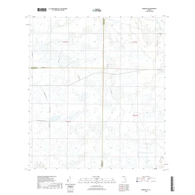
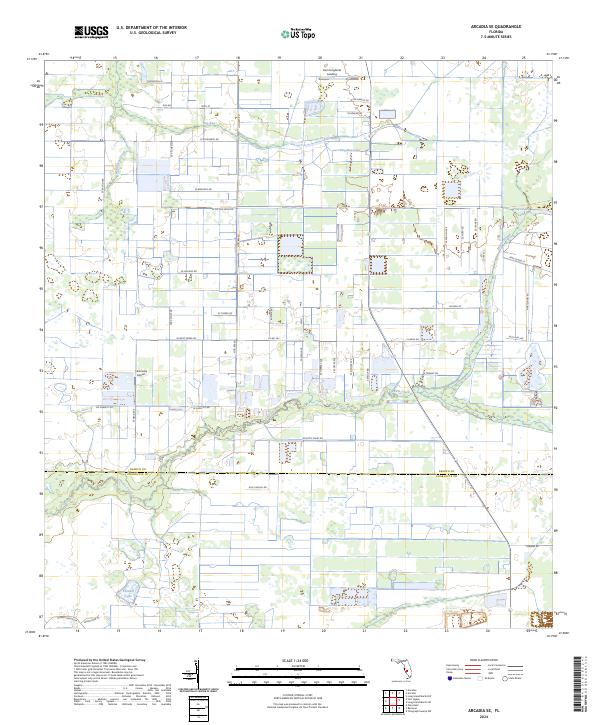
1956 Arcadia SE
DeSoto County, FL
1956 Crewsville SW
DeSoto County, FL
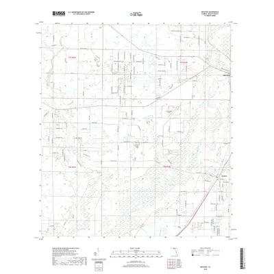
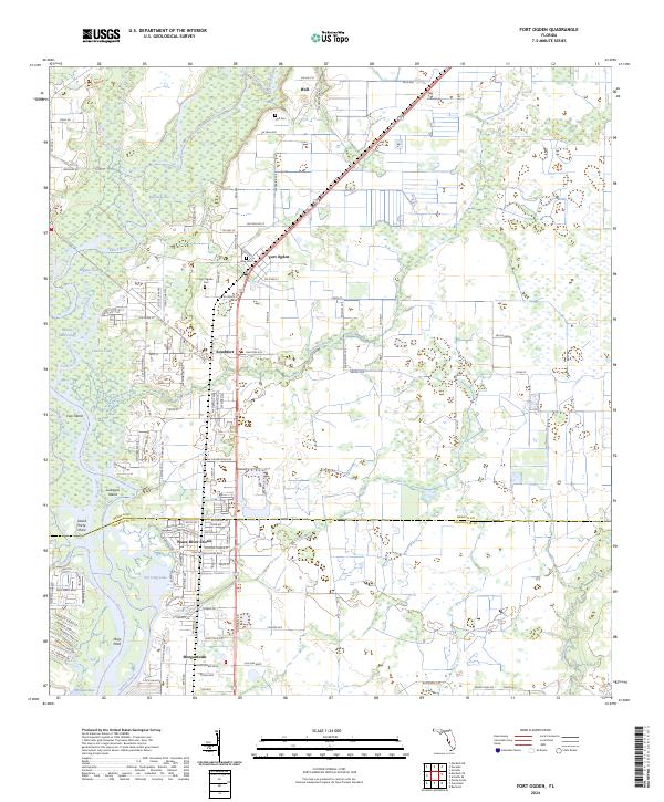
1956 Ft. Ogden
DeSoto County, FL
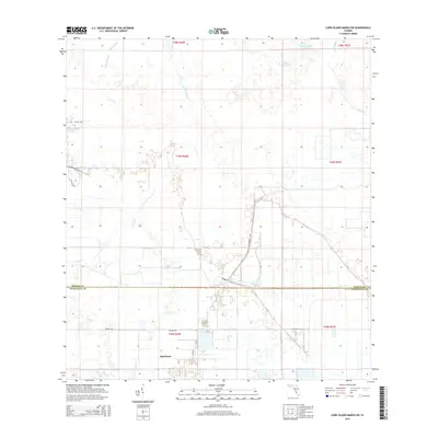
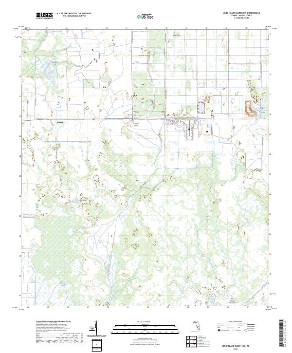
1956 Long Island Marsh SW
DeSoto County, FL
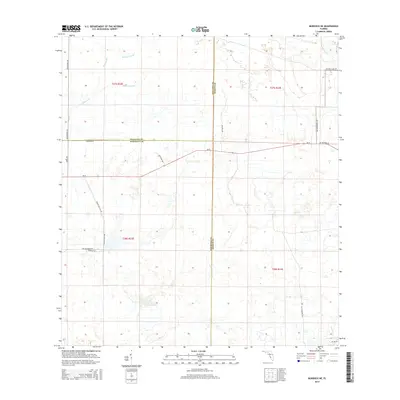
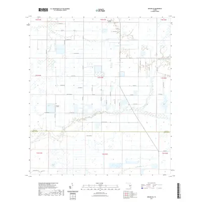
1956 Murdock NE
DeSoto County, FL
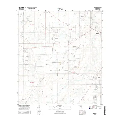
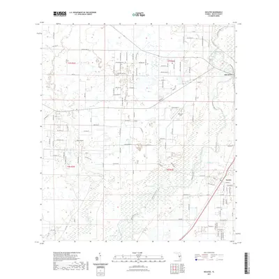
1956 Nocatee
DeSoto County, FL
1957 Long Island Marsh NW
DeSoto County, FL
2012 Arcadia SE
DeSoto County, FL
2012 Crewsville SW
DeSoto County, FL
2012 Fort Ogden
DeSoto County, FL
2012 Long Island Marsh NW
DeSoto County, FL
2012 Long Island Marsh SW
DeSoto County, FL
2012 Murdock NE
DeSoto County, FL
2012 Nocatee
DeSoto County, FL
2015 Arcadia SE
DeSoto County, FL
2015 Crewsville SW
DeSoto County, FL
2015 Fort Ogden
DeSoto County, FL
2015 Long Island Marsh NW
DeSoto County, FL
2015 Long Island Marsh SW
DeSoto County, FL
2015 Murdock NE
DeSoto County, FL
2015 Nocatee
DeSoto County, FL
2018 Arcadia SE
DeSoto County, FL
2018 Crewsville SW
DeSoto County, FL
2018 Fort Ogden
DeSoto County, FL
2018 Long Island Marsh NW
DeSoto County, FL
2018 Long Island Marsh SW
DeSoto County, FL
2018 Murdock NE
DeSoto County, FL
2018 Nocatee
DeSoto County, FL
2021 Arcadia SE
DeSoto County, FL
2021 Crewsville SW
DeSoto County, FL
2021 Fort Ogden
DeSoto County, FL
2021 Long Island Marsh NW
DeSoto County, FL
2021 Long Island Marsh SW
DeSoto County, FL
2021 Murdock NE
DeSoto County, FL
2021 Nocatee
DeSoto County, FL
2024 Arcadia SE
DeSoto County, FL
2024 Crewsville SW
DeSoto County, FL
2024 Fort Ogden
DeSoto County, FL
2024 Long Island Marsh NW
DeSoto County, FL
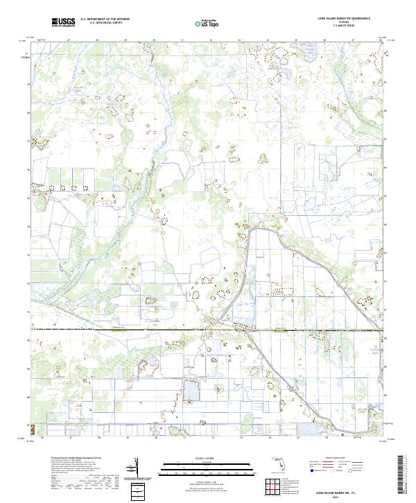
2024 Long Island Marsh SW
DeSoto County, FL
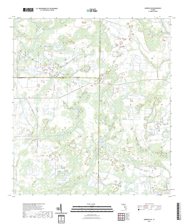
2024 Murdock NE
DeSoto County, FL
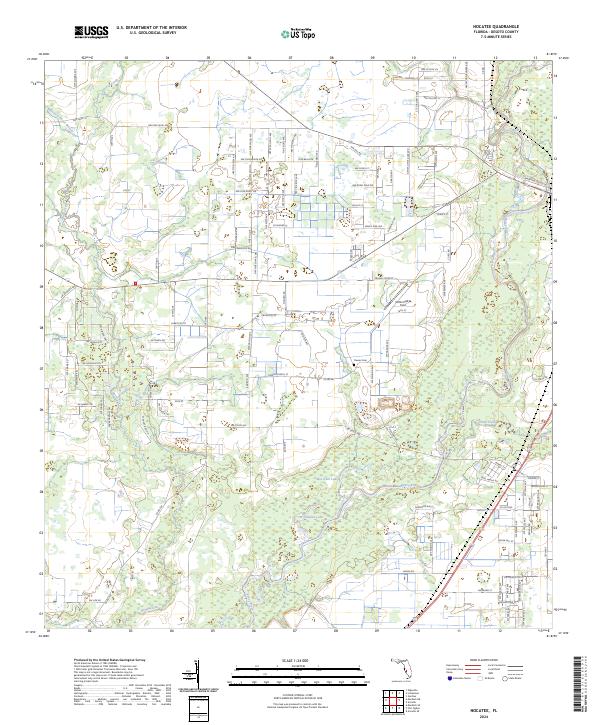
2024 Nocatee
DeSoto County, FL