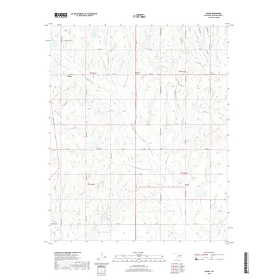
2018 Map of Criner
USGS Topo · Published 2018About this map
Criner sits at the center of this Oklahoma landscape, where the waters of Wildcat Cr and N Criner Cr converge. The terrain is defined by a dense network of tributaries feeding into Criner Creek, creating a series of north-south ridges and valleys that have shaped local settlement. To the west, the community of Dibble is situated near the upper reaches of Bear Cr, while the small settlement of Payne occupies the southeastern corner of the quadrangle.
Find a feature on this map
45 named features on this map. Tap any name to fly to it.
Don’t see what you’re looking for? This feature index may not catch every label — zoom into the map to look around manually.
Map Details
Editions of this 2018 Criner Map
This is the sole edition of this map. No revisions or reprints were ever made.
Other maps of this area

1893 · Norman
USGS Topo · 1:62,500

1898 · Purcell
USGS Topo · 1:125,000

1898 · Pauls Valley
USGS Topo · 1:125,000

1902 · Pauls Valley
USGS Topo · 1:125,000

1902 · Rush Springs
USGS Topo · 1:125,000

1904 · Chickasha
USGS Topo · 1:125,000

1936 · Norman
USGS Topo · 1:62,500

1954 · Oklahoma City
USGS Topo · 1:250,000

1957 · Ardmore
USGS Topo · 1:250,000

1957 · Oklahoma City
USGS Topo · 1:250,000