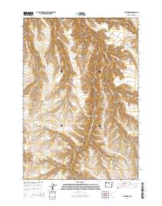
2014 Map of Criterion
USGS Topo · Published 2014About this map
Criterion sits along Us-197 in this part of Wasco County, defined by a complex network of high ridges and deep drainages. The landscape is carved by numerous canyons, including Middle Canyon, White Door Canyon, and Maupin Trail Canyon, while elevations are dominated by extensive high ground like McLeod Ridge and Johnson Ridge. Water sources appear as scattered springs across the high country, such as Fargher Spring, Adams Spring, and Hornerist Spring, which feed intermittent drainages like Bakeoven Cr and Booten Cr. This survey illustrates the relationship between the historic transit corridor of the modern highway and the rugged, arid terrain. For genealogists and local historians, the presence of the Criterion Cem provides a specific point of interest for tracing early families in this rural highland region.
Find a feature on this map
35 named features on this map. Tap any name to fly to it.
Don’t see what you’re looking for? This feature index may not catch every label — zoom into the map to look around manually.
Map Details
Editions of this 2014 Criterion Map
This is the sole edition of this map. No revisions or reprints were ever made.
Other maps of this area

1928 · Madras
USGS Topo · 1:125,000

1930 · Dufur
USGS Topo · 1:125,000

1931 · Madras
USGS Topo · 1:125,000

1934 · Dufur
USGS Topo · 1:125,000

1953 · The Dalles
USGS Topo · 1:250,000

1955 · Bend
USGS Topo · 1:250,000

1956 · The Dalles
USGS Topo · 1:250,000

1957 · Bend
USGS Topo · 1:250,000

1957 · The Dalles
USGS Topo · 1:250,000

1958 · Bend
USGS Topo · 1:250,000