
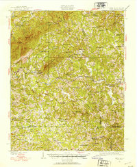
1926 Map of Critz
USGS Topo · Published 1926About this map
The hills of Patrick County, Virginia, and the northern edge of North Carolina are defined by a network of small mountain communities and rural industry in the mid-1920s. Centered around Critz and Patrick Springs Station, the landscape is dotted with family-run mills such as Kogers Mill and Dobbins Mill, which relied on the flow of the Mayo River and Spoon Creek. The map records a dense network of country schools including Blue Mountain School and Harbour School, alongside dozens of local houses of worship like Minnies Chapel Church. Transportation and logistics of the era are visible through landmarks like Martin Siding and Penn Siding, while topographic heights like Chestnut Knob and Buffalo Ridge dictate the winding paths of rural roads and ridges.
Find a feature on this map
127 named features on this map. Tap any name to fly to it.
Don’t see what you’re looking for? This feature index may not catch every label — zoom into the map to look around manually.
Map Details
Editions of this 1926 Critz Map
2 editions found
Other maps of this area

1924 · Martinsville
USGS Topo · 1:48,000

1925 · Rocky Mount
USGS Topo · 1:48,000

1926 · Martinsville
USGS Topo · 1:62,500

1927 · Rocky Mount
USGS Topo · 1:62,500

1927 · Martinsville
USGS Topo · 1:62,500

1928 · Stuart
USGS Topo · 1:48,000

1928 · Critz
USGS Topo · 1:62,500

1931 · Stuart
USGS Topo · 1:62,500

1944 · Martinsville
USGS Topo · 1:62,500

1944 · Rocky Mount
USGS Topo · 1:62,500