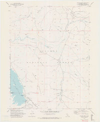
1972 Map of Crocker Mtn
USGS Topo · Published 1973About this map
Lake Davis and the high elevations of the Plumas National Forest dominate this Sierra Nevada landscape in the early 1970s. The map captures a moment when the recently constructed Grizzly Valley Dam and its reservoir are new features on the terrain, complete with the Grizzly Campground and Grasshopper Flat Campground established for recreation. The California Department of Water Resources contributed data for this survey, reflecting the mid-century focus on water management in Plumas County.
Find a feature on this map
36 named features on this map. Tap any name to fly to it.
Don’t see what you’re looking for? This feature index may not catch every label — zoom into the map to look around manually.
Map Details
Editions of this 1972 Crocker Mtn Map
2 editions found
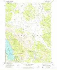
Other maps of this area

1886 · Honey Lake
USGS Topo · 1:250,000

1890 · Sierraville
USGS Topo · 1:125,000

1891 · Downieville
USGS Topo · 1:125,000

1891 · Honey Lake
USGS Topo · 1:250,000

1892 · Sierraville
USGS Topo · 1:125,000

1893 · Honey Lake
USGS Topo · 1:250,000

1893 · Downieville
USGS Topo · 1:125,000

1894 · Sierraville
USGS Topo · 1:125,000

1895 · Downieville
USGS Topo · 1:125,000

1896 · Downieville
USGS Topo · 1:125,000