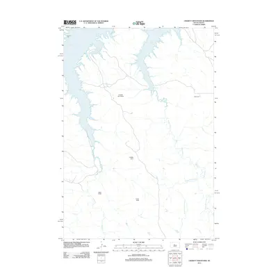
2012 Map of Crokett Mountains
USGS Topo · Published 2012About this map
Lake Oahe dominates the northwestern corner of this South Dakota landscape, where the Missouri River's backed-up waters reach into the rugged draws of the Crockett Mountains. The terrain is defined by prominent high points such as Lindsay Butte, Black Butte, and Cedar Butte, which rise above a network of drainage systems including Sansarc Cr and the various branches of Minneconjou Cr.
Find a feature on this map
11 named features on this map. Tap any name to fly to it.
Don’t see what you’re looking for? This feature index may not catch every label — zoom into the map to look around manually.
Map Details
Editions of this 2012 Crokett Mountains Map
This is the sole edition of this map. No revisions or reprints were ever made.
Other maps of this area

1954 · Pierre
USGS Topo · 1:250,000

1956 · Rousseau Creek SW
USGS Topo · 1:24,000

1956 · Herbert Creek SE
USGS Topo · 1:24,000

1956 · Sansarc NE
USGS Topo · 1:24,000

1956 · Crockett Mountains
USGS Topo · 1:24,000

1958 · Pierre
USGS Topo · 1:250,000

1969 · Rousseau Creek
USGS Topo · 1:24,000

1982 · Sansarc
USGS Topo · 1:24,000

1982 · Mission Ridge
USGS Topo · 1:24,000

1983 · Standing Butte
USGS Topo · 1:24,000