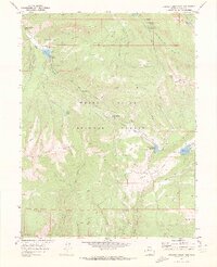
1970 Map of Crooked Creek Pass
USGS Topo · Published 1973About this map
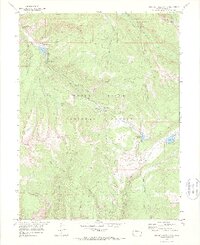
White River National Forest defines the high-altitude landscape of this 1970 Eagle County survey, centered on the historic Crooked Creek Pass. The map reveals a region transitioning from raw extractive efforts to recreational utility, noted by the presence of a Prospect and several organized camps. Water management and drainage are central to the terrain, with Crooked Creek Reservoir and the headwaters of Brush Creek cutting through the deep gulches. To the north, Sylvan Lake and Yeoman Park suggest established areas for summer travel, while the Fulford Cave Campground marks the vicinity of the notable Fulford Cave. High ridges such as Red Table Mountain and Adam Mtn frame the complex network of pack trails and jeep tracks that served as the primary means of traversal through the dense Colorado wilderness during the early 1970s.
Find a feature on this map
57 named features on this map. Tap any name to fly to it.
Don’t see what you’re looking for? This feature index may not catch every label — zoom into the map to look around manually.
Map Details
Editions of this 1970 Crooked Creek Pass Map
6 editions found
Other maps of this area

1909 · Mount Jackson
USGS Topo · 1:125,000

1911 · Mount Jackson
USGS Topo · 1:125,000

1957 · Leadville
USGS Topo · 1:250,000

1959 · Leadville
USGS Topo · 1:250,000

1960 · Leadville
USGS Topo · 1:250,000

1961 · Ruedi
USGS Topo · 1:24,000

1961 · Red Creek
USGS Topo · 1:24,000

1962 · Leadville
USGS Topo · 1:250,000

1962 · Grouse Mountain
USGS Topo · 1:24,000

1962 · Fulford
USGS Topo · 1:24,000