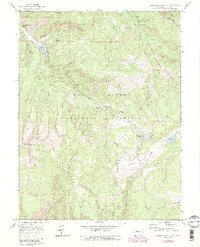
1970 Map of Crooked Creek Pass
USGS Topo · Published 1988About this map
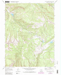
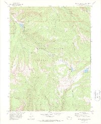
White River National Forest defines the character of this high-country survey, centered on the drainage networks of West Brush Creek and Crooked Creek. The terrain is marked by significant landmarks like Fulford Cave in the north and the expansive Red Table Mountain to the west. Evidence of human activity and recreation appears through the Fulford Cave Campground and the water management at Crooked Creek Reservoir.
Find a feature on this map
51 named features on this map. Tap any name to fly to it.
Don’t see what you’re looking for? This feature index may not catch every label — zoom into the map to look around manually.
Map Details
Editions of this 1970 Crooked Creek Pass Map
6 editions found
Other maps of this area

1909 · Mount Jackson
USGS Topo · 1:125,000

1911 · Mount Jackson
USGS Topo · 1:125,000

1957 · Leadville
USGS Topo · 1:250,000

1959 · Leadville
USGS Topo · 1:250,000

1960 · Leadville
USGS Topo · 1:250,000

1961 · Ruedi
USGS Topo · 1:24,000

1961 · Red Creek
USGS Topo · 1:24,000

1962 · Leadville
USGS Topo · 1:250,000

1962 · Grouse Mountain
USGS Topo · 1:24,000

1962 · Fulford
USGS Topo · 1:24,000