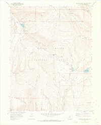
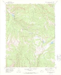
1970 Map of Crooked Creek Pass
USGS Topo · Published 1973About this map
White River National Forest defines the high-country character of this 1970 survey, where a complex network of drainages and peaks shapes the landscape. The high divide of Red Table Mountain runs through the southwest, while the northeast corner is marked by Craig Peak and Nolan Lake. Transportation across this terrain relies on a system of historical trails, including the Sieve Gulch Trail and various unnamed Pack Trails and Jeep Trails that connect remote springs and clearings.
Find a feature on this map
50 named features on this map. Tap any name to fly to it.
Don’t see what you’re looking for? This feature index may not catch every label — zoom into the map to look around manually.
Map Details
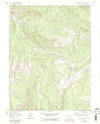
Editions of this 1970 Crooked Creek Pass Map
6 editions found
Other maps of this area

1909 · Mount Jackson
USGS Topo · 1:125,000

1911 · Mount Jackson
USGS Topo · 1:125,000

1957 · Leadville
USGS Topo · 1:250,000

1959 · Leadville
USGS Topo · 1:250,000

1960 · Leadville
USGS Topo · 1:250,000

1961 · Ruedi
USGS Topo · 1:24,000

1961 · Red Creek
USGS Topo · 1:24,000

1962 · Leadville
USGS Topo · 1:250,000

1962 · Grouse Mountain
USGS Topo · 1:24,000

1962 · Fulford
USGS Topo · 1:24,000