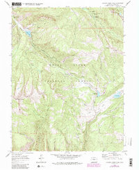
1970 Map of Crooked Creek Pass
USGS Topo · Published 1988About this map
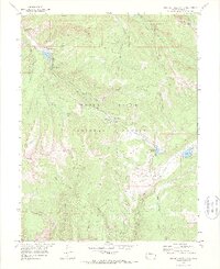
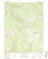
White River National Forest defines the character of this high-elevation terrain, where steep ridges and narrow gulches converge. Significant landmarks like Red Table Mountain and Mount Eve dominate the skyline, while the eastern edge transition into the Holy Cross Wilderness near Craig Peak. Water is central to the landscape, with Crooked Creek flowing through the center of the sheet toward the Crooked Creek Reservoir, while other drainages like Lime Creek and Jakeman Creek carve out deep valleys. The map documents an established network of mountain access, showing a mix of established roads and more primitive pack trails and jeep trails. These routes connect recreational and geographic points of interest such as the Fulford Cave Campground and secluded waters like Woods Lake and Sylvan Lake. High mountain meadows such as Lime Park and Yeoman Park break up the densely wooded slopes, providing clearings in an otherwise challenging and vertically oriented environment.
Find a feature on this map
45 named features on this map. Tap any name to fly to it.
Don’t see what you’re looking for? This feature index may not catch every label — zoom into the map to look around manually.
Map Details
Editions of this 1970 Crooked Creek Pass Map
6 editions found
Other maps of this area

1909 · Mount Jackson
USGS Topo · 1:125,000

1911 · Mount Jackson
USGS Topo · 1:125,000

1957 · Leadville
USGS Topo · 1:250,000

1959 · Leadville
USGS Topo · 1:250,000

1960 · Leadville
USGS Topo · 1:250,000

1961 · Ruedi
USGS Topo · 1:24,000

1961 · Red Creek
USGS Topo · 1:24,000

1962 · Leadville
USGS Topo · 1:250,000

1962 · Grouse Mountain
USGS Topo · 1:24,000

1962 · Fulford
USGS Topo · 1:24,000