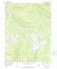
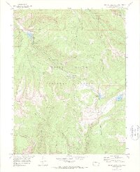
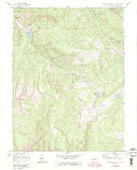
1970 Map of Crooked Creek Pass
USGS Topo · Published 1973About this map
White River National Forest defines this high-elevation landscape, where the confluence of steep ridgelines and alpine drainage systems created a hub for early recreation and resource extraction. The map detail highlights the subterranean feature of Fulford Cave and its adjacent Fulford Cave Campground near the northeast corner, a significant point of interest for local explorers. To the west, Sylvan Lake serves as a primary water feature within a designated Recreation Area, flanked by the rising slopes of Mount Eve and Mount Thomas.
Find a feature on this map
50 named features on this map. Tap any name to fly to it.
Don’t see what you’re looking for? This feature index may not catch every label — zoom into the map to look around manually.
Map Details
Editions of this 1970 Crooked Creek Pass Map
6 editions found
Other maps of this area

1909 · Mount Jackson
USGS Topo · 1:125,000

1911 · Mount Jackson
USGS Topo · 1:125,000

1957 · Leadville
USGS Topo · 1:250,000

1959 · Leadville
USGS Topo · 1:250,000

1960 · Leadville
USGS Topo · 1:250,000

1961 · Ruedi
USGS Topo · 1:24,000

1961 · Red Creek
USGS Topo · 1:24,000

1962 · Leadville
USGS Topo · 1:250,000

1962 · Grouse Mountain
USGS Topo · 1:24,000

1962 · Fulford
USGS Topo · 1:24,000