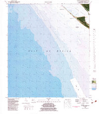
1982 Map of Crooked Island
USGS Topo · Published 1983About this map
Crooked Island and the adjacent reaches of St Andrew Sound define this coastal landscape on the Florida Panhandle. This orthophotomap, based on mid-1970s aerial photography, provides a literal look at the shifting sands of a region noted as an Area subject to frequent change. The military presence at Tyndall Air Force Base is visible along the northern shore, where the coastal terrain transitions into the protected waters of Wild Goose Lagoon. Offshore, the depths of the Gulf of Mexico are charted with bathymetric data, including a designated Dump Site to the south. The map's photographic base reveals the complex interplay of sandbars and shoals that characterize this dynamic stretch of Bay County shoreline.
Find a feature on this map
8 named features on this map. Tap any name to fly to it.
Don’t see what you’re looking for? This feature index may not catch every label — zoom into the map to look around manually.
Map Details
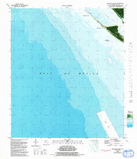
Editions of this 1982 Crooked Island Map
2 editions found
Other maps of this area

1943 · Beacon Beach
USGS Topo · 1:31,680

1943 · Crooked Island
USGS Topo · 1:31,680

1944 · Beacon Hill
USGS Topo · 1:31,680

1944 · Long Point
USGS Topo · 1:31,680

1945 · Allanton
USGS Topo · 1:31,680

1945 · St Joseph Point
USGS Topo · 1:31,680

1947 · Allanton
USGS Topo · 1:25,000

1949 · Apalachicola
USGS Topo · 1:250,000

1954 · Tallahassee
USGS Topo · 1:250,000
1956 · Beacon Hill
USGS Topo · 1:24,000