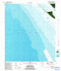
1982 Map of Crooked Island
USGS Topo · Published 1992About this map
Tyndall Air Force Base occupies the northeastern edge of this orthophotomap, marking a strategic military footprint along the barrier islands of Bay Co. and the Florida panhandle. The landscape is defined by the shifting sands of Crooked Island and the protected waters of St Andrew Sound. Detailed bathymetric data reveals the underwater topography of the Gulf of Mexico, while terrestrial features include the secluded Wild Goose Lagoon. A large Dump Site is noted offshore, highlighting the intersection of human activity and coastal management. Because this is an area subject to frequent change, the map captures a specific moment in the evolution of the shoreline, documenting the transition between open sea and the inland sounds during the late twentieth century.
Find a feature on this map
9 named features on this map. Tap any name to fly to it.
Don’t see what you’re looking for? This feature index may not catch every label — zoom into the map to look around manually.
Map Details
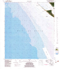
Editions of this 1982 Crooked Island Map
2 editions found
Other maps of this area

1943 · Beacon Beach
USGS Topo · 1:31,680

1943 · Crooked Island
USGS Topo · 1:31,680

1944 · Beacon Hill
USGS Topo · 1:31,680

1944 · Long Point
USGS Topo · 1:31,680

1945 · Allanton
USGS Topo · 1:31,680

1945 · St Joseph Point
USGS Topo · 1:31,680

1947 · Allanton
USGS Topo · 1:25,000

1949 · Apalachicola
USGS Topo · 1:250,000

1954 · Tallahassee
USGS Topo · 1:250,000
1956 · Beacon Hill
USGS Topo · 1:24,000