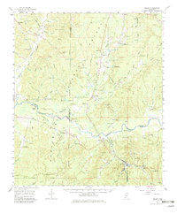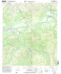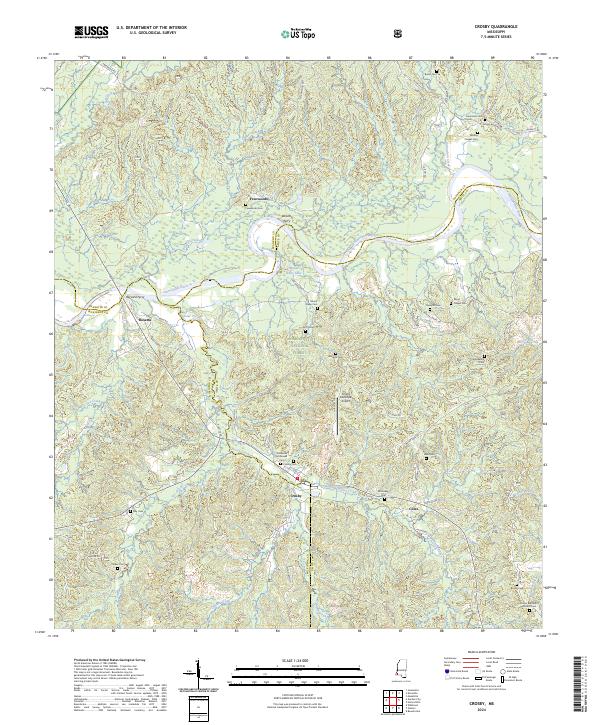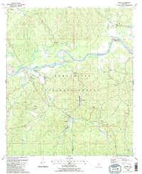
1988 Map of Crosby
USGS Topo · Published 1988About this map
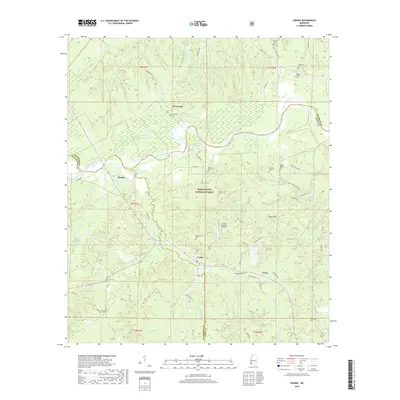
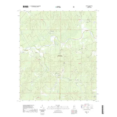
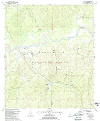
Crosby and Rosetta sit along a corridor defined by the legacy of the Railroad and Old Railroad Grade in this corner of southwestern Mississippi. The landscape is heavily shaped by the Homochitto National Forest, which covers much of the central and southern portions of the map. The Homochitto River winds through the terrain, joined by numerous tributaries like Foster Creek and Zeigler Creek. Local history is preserved through scattered rural landmarks such as Mr Nebo Ch near Mt Nebo Lake, and family-named burial grounds like Berryhill Cem and Lusk Cem. The region also reflects industrial activity with several Oil Wells and Drill Holes mapped throughout the wooded hills. Aviation and forest management are represented by the Gloster Municipal Airport and the Stephenson Lookout, providing a detailed look at the infrastructure of the late 1980s.
Find a feature on this map
43 named features on this map. Tap any name to fly to it.
Don’t see what you’re looking for? This feature index may not catch every label — zoom into the map to look around manually.
Map Details
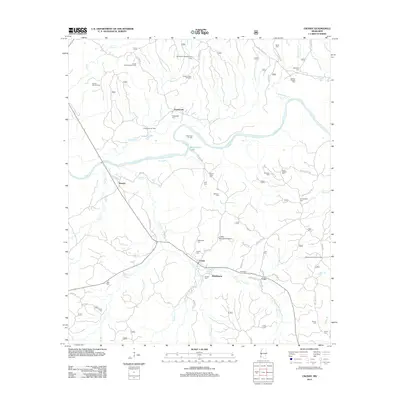
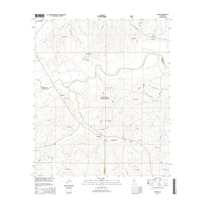
Editions of this 1988 Crosby Map
2 editions found
Historical Maps of Crosby Through Time
8 maps found