Loading...
Loading map...1948 Map of Crosby
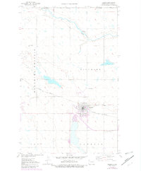
USGS Topo · Published 1982About this map
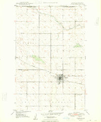
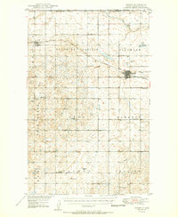
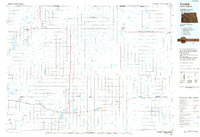
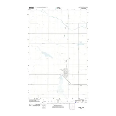
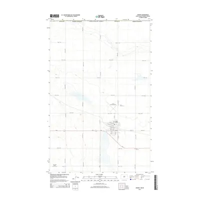
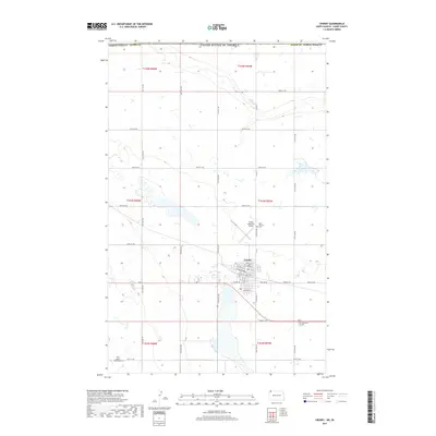
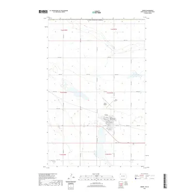
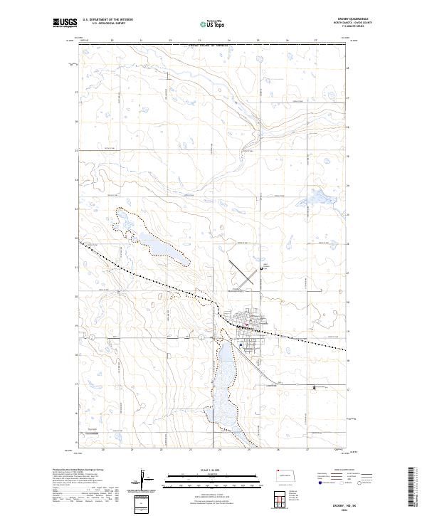
The Canada United States border defines the northern edge of this landscape, where the prairie of North Dakota meets Saskatchewan. The town of Crosby serves as the regional hub, situated at the intersection of the Burlington Soo Line Northern railroad. The map documents a transition in transportation infrastructure, showing both active rail lines and a segment of Soo Line Abandoned track heading east.
Find a feature on this map
19 named features on this map. Tap any name to fly to it.
Don’t see what you’re looking for? This feature index may not catch every label — zoom into the map to look around manually.
Map Details
Date Portrayed1948
Date Published1982
PublisherU.S. Geological Survey
Map TypeTopographic
Scale1:24,000
Physical Dimensions22 x 26.7 inches
Editions of this 1948 Crosby Map
2 editions found
Historical Maps of Crosby Through Time
8 maps found
Featured Locations
Source Details
SourceU.S. Geological Survey
CopyrightPublic Domain