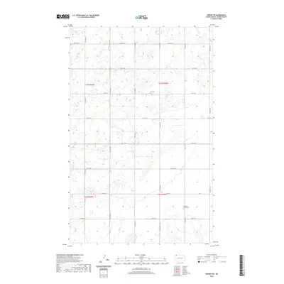
2020 Map of Crosby SW
USGS Topo · Published 2020About this map
Glacial depressions and small prairie wetlands characterize this corner of t162n r98w and t161n r98w, where the landscape is etched by a precise grid of sectional roads. The map reveals the persistence of early rural institutions through the presence of Troy Cem and Bethlehem Lutheran Cem, the latter of which is located along the southern reaches near 92nd St NW. These sites, along with the alignment of Co Rd 14, illustrate the enduring nature of the original Public Land Survey System in organizing the agricultural life of Divide County. The sparse distribution of named landmarks emphasizes the area's specialized role in the Great Plains' wheat-growing region.
Find a feature on this map
23 named features on this map. Tap any name to fly to it.
Don’t see what you’re looking for? This feature index may not catch every label — zoom into the map to look around manually.
Map Details
Editions of this 2020 Crosby SW Map
This is the sole edition of this map. No revisions or reprints were ever made.
Other maps of this area

1948 · Smoky Butte
USGS Topo · 1:24,000

1948 · Alamo N.E.
USGS Topo · 1:24,000

1948 · Crosby SW
USGS Topo · 1:24,000

1948 · Ambrose
USGS Topo · 1:24,000

1948 · Bright Water Lake
USGS Topo · 1:24,000

1948 · Crosby
USGS Topo · 1:24,000

1948 · Crosby SE
USGS Topo · 1:24,000

1950 · Crosby
USGS Topo · 1:62,500

1953 · Williston
USGS Topo · 1:250,000

1957 · Williston
USGS Topo · 1:250,000