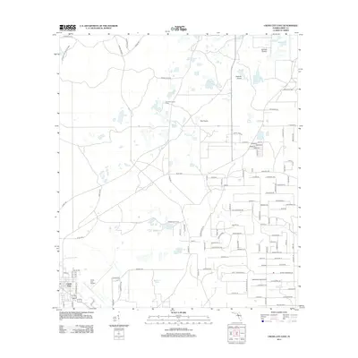
2012 Map of Cross City East
USGS Topo · Published 2012About this map
Cross City serves as the focal point of this Dixie County landscape, where the flatlands of the Florida Big Bend are defined by a complex network of wetlands and historic timber routes. The town is flanked by the Cross City Airport and the Airport Canal, while the surrounding terrain is a mosaic of open spaces such as Tenmile Prairie, Delaney Prairie, and Fish Prairie. To the northwest, the Steinhatchee Wildlife Area preserves the native character of the Gulf coastal plain. The distribution of numerous water bodies like Ocean Pond and Bodiford Pond, alongside the prominence of the Holly Hill Lookout Tower, suggests a landscape traditionally managed for forestry and conservation. Named tracks like Wilson Tram Rd and Cannonfield Rd further hint at the region's historical reliance on transit through the pine flatwoods and swamps.
Find a feature on this map
112 named features on this map. Tap any name to fly to it.
Don’t see what you’re looking for? This feature index may not catch every label — zoom into the map to look around manually.
Map Details
Editions of this 2012 Cross City East Map
This is the sole edition of this map. No revisions or reprints were ever made.
Other maps of this area

1954 · Cross City West
USGS Topo · 1:24,000

1954 · Eugene
USGS Topo · 1:24,000

1954 · Cross City East
USGS Topo · 1:24,000

1954 · Mallory Swamp SW
USGS Topo · 1:24,000

1954 · Mallory Swamp SE
USGS Topo · 1:24,000

1954 · Cross City SW
USGS Topo · 1:24,000

1954 · Gainesville
USGS Topo · 1:250,000

1956 · Mallory Swamp SE
USGS Topo · 1:25,000

1958 · Gainesville
USGS Topo · 1:250,000

1959 · Gainesville
USGS Topo · 1:250,000