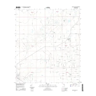
2015 Map of Cross City East
USGS Topo · Published 2015About this map
Cross City anchors the southwestern corner of this survey, where the town's grid meets the infrastructure of the Cross City Airport. This region of Dixie County is characterized by a high concentration of ephemeral wetlands and prairies, including the broad Tenmile Prairie and Delaney Prairie. A network of unpaved roads and numbered avenues crisscross the landscape, connecting scattered homesteads to the primary hub at Cross City. The drainage patterns are visible through features like the Airport Canal and numerous scattered water bodies such as Ocean Pond, Bodiford Pond, and Adams Lake. The eastern portion of the map is defined by the unique ecological feature of Old Town Hammock, illustrating the transition from open prairie to more densely wooded Florida terrain in the mid-2010s.
Find a feature on this map
149 named features on this map. Tap any name to fly to it.
Don’t see what you’re looking for? This feature index may not catch every label — zoom into the map to look around manually.
Map Details
Editions of this 2015 Cross City East Map
This is the sole edition of this map. No revisions or reprints were ever made.
Other maps of this area

1954 · Cross City West
USGS Topo · 1:24,000

1954 · Eugene
USGS Topo · 1:24,000

1954 · Cross City East
USGS Topo · 1:24,000

1954 · Mallory Swamp SW
USGS Topo · 1:24,000

1954 · Mallory Swamp SE
USGS Topo · 1:24,000

1954 · Cross City SW
USGS Topo · 1:24,000

1954 · Gainesville
USGS Topo · 1:250,000

1956 · Mallory Swamp SE
USGS Topo · 1:25,000

1958 · Gainesville
USGS Topo · 1:250,000

1959 · Gainesville
USGS Topo · 1:250,000