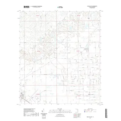
2021 Map of Cross City East
USGS Topo · Published 2021About this map
Cross City serves as the focal point of this Dixie County landscape, anchored by the Dixie County Courthouse and the expansive Cross City Airport at its southwestern edge. The surrounding terrain is a complex mosaic of low-lying wetlands and open prairies characteristic of the Florida Gulf coastal region. Broad, named clearings like Tenmile Prairie, Delaney Prairie, and Fish Prairie punctuate the landscape, interspersed with numerous water bodies such as Adams Lake, Sand Pond, and the curiously named Ocean Pond.
Find a feature on this map
159 named features on this map. Tap any name to fly to it.
Don’t see what you’re looking for? This feature index may not catch every label — zoom into the map to look around manually.
Map Details
Editions of this 2021 Cross City East Map
This is the sole edition of this map. No revisions or reprints were ever made.
Other maps of this area

1954 · Cross City West
USGS Topo · 1:24,000

1954 · Eugene
USGS Topo · 1:24,000

1954 · Cross City East
USGS Topo · 1:24,000

1954 · Mallory Swamp SW
USGS Topo · 1:24,000

1954 · Mallory Swamp SE
USGS Topo · 1:24,000

1954 · Cross City SW
USGS Topo · 1:24,000

1954 · Gainesville
USGS Topo · 1:250,000

1956 · Mallory Swamp SE
USGS Topo · 1:25,000

1958 · Gainesville
USGS Topo · 1:250,000

1959 · Gainesville
USGS Topo · 1:250,000