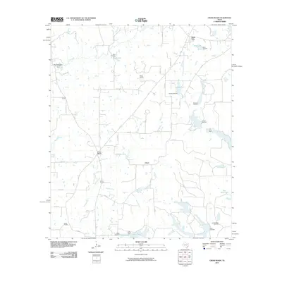
2010 Map of Cross Roads
USGS Topo · Published 2010About this map
The settlement of Cross Roads serves as a central junction in this Henderson County landscape, where the local road network connects rural homesteads and family burial grounds. Local history is anchored by several distinct sites, including Willow Springs Cemetery, Post Oak Cemetery, Patterson Cemetery, and Union Cemetery, which document the generations settled along the various creek branches. The terrain is defined by a heavy concentration of managed water resources, including Nichols Lake, White Lake, and Catfish Lake, often created by private dams such as the Perryman Lake Dam and Jonsson Lake Dam. Industrial activity is evident in the southwest near the Cayuga Oil Field, illustrating the area's reliance on natural resource extraction alongside its agricultural character. Small residential clusters like Shady Oaks and Bass Haven Lake appear near the northern and eastern borders, reflecting the development of lakeside communities.
Find a feature on this map
58 named features on this map. Tap any name to fly to it.
Don’t see what you’re looking for? This feature index may not catch every label — zoom into the map to look around manually.
Map Details
Editions of this 2010 Cross Roads Map
This is the sole edition of this map. No revisions or reprints were ever made.
Other maps of this area

1949 · Athens
USGS Topo · 1:62,500

1949 · Tennessee Colony
USGS Topo · 1:62,500

1950 · Athens
USGS Topo · 1:62,500

1950 · Tennessee Colony
USGS Topo · 1:62,500

1953 · Palestine
USGS Topo · 1:250,000

1954 · Dallas
USGS Topo · 1:250,000

1954 · Waco
USGS Topo · 1:250,000

1955 · Waco
USGS Topo · 1:250,000

1956 · Tyler
USGS Topo · 1:250,000

1957 · Palestine
USGS Topo · 1:250,000