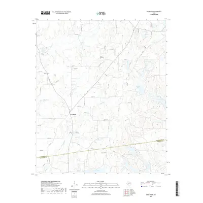
2019 Map of Cross Roads
USGS Topo · Published 2019About this map
Cross Roads sits at the center of this rural East Texas landscape, where the county line between Henderson Co and Anderson Co runs through a region defined by its numerous small lakes and creek drainages. The map records several legacy burial grounds that serve as touchstones for local genealogy, including Union Cem, Patterson Cem, Willow Springs Cem, and Post Oak Cem. A distinctive network of water bodies, such as McElvaney Lake, Johnson Lake, and Lake Francis, are fed by local watercourses like Wildcat Cr and Barron Cr. This 2019 survey also shows modern additions to the landscape, most notably the Deer Meadow Ranch Airport located in the southern portion of the quadrangle. The road network, comprising various Farm to Market roads like FM 59 and FM 3441, connects these scattered water features and small settlements.
Find a feature on this map
72 named features on this map. Tap any name to fly to it.
Don’t see what you’re looking for? This feature index may not catch every label — zoom into the map to look around manually.
Map Details
Editions of this 2019 Cross Roads Map
This is the sole edition of this map. No revisions or reprints were ever made.
Other maps of this area

1949 · Athens
USGS Topo · 1:62,500

1949 · Tennessee Colony
USGS Topo · 1:62,500

1950 · Athens
USGS Topo · 1:62,500

1950 · Tennessee Colony
USGS Topo · 1:62,500

1953 · Palestine
USGS Topo · 1:250,000

1954 · Dallas
USGS Topo · 1:250,000

1954 · Waco
USGS Topo · 1:250,000

1955 · Waco
USGS Topo · 1:250,000

1956 · Tyler
USGS Topo · 1:250,000

1957 · Palestine
USGS Topo · 1:250,000