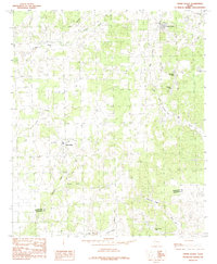
1984 Map of Cross Roads
USGS Topo · Published 1984About this map
Cross Roads and the surrounding rural landscape of east Texas are captured in this mid-1980s field study. The geography is defined by a dense network of private and recreational water bodies, ranging from Hollywood Lake in the north to the southern cluster of Fishermans Lake, Gator Lake, and Bass Haven Lake. This concentration of small lakes, often associated with local surnames like McElvaney Lake and Perryman Lake, suggests a period of post-war land development focused on recreation and rural residential life.
Find a feature on this map
23 named features on this map. Tap any name to fly to it.
Don’t see what you’re looking for? This feature index may not catch every label — zoom into the map to look around manually.
Map Details
Editions of this 1984 Cross Roads Map
This is the sole edition of this map. No revisions or reprints were ever made.
Other maps of this area

1949 · Athens
USGS Topo · 1:62,500

1949 · Tennessee Colony
USGS Topo · 1:62,500

1950 · Athens
USGS Topo · 1:62,500

1950 · Tennessee Colony
USGS Topo · 1:62,500

1953 · Palestine
USGS Topo · 1:250,000

1954 · Dallas
USGS Topo · 1:250,000

1954 · Waco
USGS Topo · 1:250,000

1955 · Waco
USGS Topo · 1:250,000

1956 · Tyler
USGS Topo · 1:250,000

1957 · Palestine
USGS Topo · 1:250,000