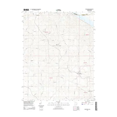
2015 Map of Crosstown
USGS Topo · Published 2015About this map
Mississippi River frontage and the dissected uplands of Perry County define this landscape, where early German Lutheran and Presbyterian settlement patterns remain visible. The community of Farrar is anchored by the Salem Lutheran Church and the adjacent Salem Lutheran Cemetery, while further south, the village of Brazeau sits near the Brazeau Presbyterian Church Cemetery. These tight-knit rural centers, including Frohna and Crosstown, are connected by a dense network of county roads like Highway D and Co Road 322. The terrain is deeply carved by drainage systems including Brazeau Creek, Indian Creek, and Omete Creek, which flow toward the river. To the northeast, the river boundary between Missouri and Illinois is marked by Wilkinson Island, illustrating the shifting nature of the state line in relation to the main channel.
Find a feature on this map
70 named features on this map. Tap any name to fly to it.
Don’t see what you’re looking for? This feature index may not catch every label — zoom into the map to look around manually.
Map Details
Editions of this 2015 Crosstown Map
This is the sole edition of this map. No revisions or reprints were ever made.
Other maps of this area

1915 · Chester
USGS Topo · 1:62,500

1916 · Campbell Hill
USGS Topo · 1:62,500

1918 · Altenburg
USGS Topo · 1:62,500

1918 · Campbell Hill
USGS Topo · 1:62,500

1923 · Perryville
USGS Topo · 1:62,500

1924 · Perryville
USGS Topo · 1:62,500

1925 · Altenburg
USGS Topo · 1:62,500

1947 · Chester
USGS Topo · 1:62,500

1947 · Crosstown
USGS Topo · 1:24,000

1947 · Oak Ridge
USGS Topo · 1:24,000