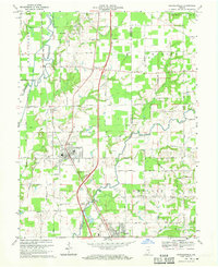
1968 Map of Crothersville
USGS Topo · Published 1970About this map
Crothersville serves as the central hub of this Southern Indiana landscape, situated at the junction of the Penn Central railroad and a grid of rural roads like 600 South Rd. The town's layout, including its Sewage Disposal plant and the nearby Roadside Park, reflects a mid-century community tied to both industrial transit and agriculture. To the north, the small settlements of Uniontown and Retreat sit near the winding course of the Muscatatuck River, which defines the border between Jackson Co and Jennings Co.
Find a feature on this map
64 named features on this map. Tap any name to fly to it.
Don’t see what you’re looking for? This feature index may not catch every label — zoom into the map to look around manually.
Map Details
Editions of this 1968 Crothersville Map
2 editions found
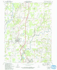
Other maps of this area

1947 · Scottsburg
USGS Topo · 1:24,000

1956 · Blocher
USGS Topo · 1:24,000

1956 · Deputy
USGS Topo · 1:24,000

1956 · Louisville
USGS Topo · 1:250,000

1958 · Little York
USGS Topo · 1:24,000

1958 · Seymour
USGS Topo · 1:24,000

1959 · Tampico
USGS Topo · 1:24,000
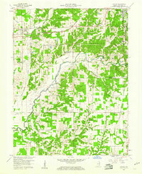
1959 · Hayden
USGS Topo · 1:24,000

1959 · Crothersville
USGS Topo · 1:24,000
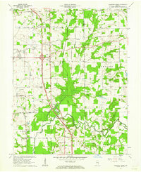
1959 · Chestnut Ridge
USGS Topo · 1:24,000