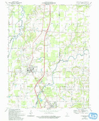
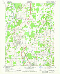
1968 Map of Crothersville
USGS Topo · Published 1993About this map
Crothersville sits at the heart of this landscape, its residential grid established west of the Louisville and Nashville railroad tracks. The town's surrounding terrain is defined by the winding course of the Muscatatuck River and its various forks and tributaries, including the Vernon Fork Muscatatuck River. The low-lying lands are crisscrossed by an extensive network of drainage features like Rider Ditch, Blau Ditch, and Retreat Ditch, reflecting the historical effort to manage the area's hydrology for agriculture.
Find a feature on this map
58 named features on this map. Tap any name to fly to it.
Don’t see what you’re looking for? This feature index may not catch every label — zoom into the map to look around manually.
Map Details
Editions of this 1968 Crothersville Map
2 editions found
Other maps of this area

1947 · Scottsburg
USGS Topo · 1:24,000

1956 · Blocher
USGS Topo · 1:24,000

1956 · Deputy
USGS Topo · 1:24,000

1956 · Louisville
USGS Topo · 1:250,000

1958 · Little York
USGS Topo · 1:24,000

1958 · Seymour
USGS Topo · 1:24,000

1959 · Tampico
USGS Topo · 1:24,000
1959 · Hayden
USGS Topo · 1:24,000

1959 · Crothersville
USGS Topo · 1:24,000
1959 · Chestnut Ridge
USGS Topo · 1:24,000