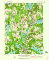
1944 Map of Croton Falls
USGS Topo · Published 1960About this map
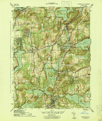
The New York Central railroad corridor dictates the settlement pattern of northern Westchester County in the early 1940s, connecting established hamlets like Croton Falls and Goldens Bridge through a landscape transformed by the New York City water supply system. Massive civil engineering projects define the terrain, from the Muscoot Dam to the sprawling Amawalk Reservoir and Titicus Reservoir, which submerged older valley floors to meet urban demand.
Find a feature on this map
51 named features on this map. Tap any name to fly to it.
Don’t see what you’re looking for? This feature index may not catch every label — zoom into the map to look around manually.
Map Details
Editions of this 1944 Croton Falls Map
2 editions found
Other maps of this area

1892 · Stamford
USGS Topo · 1:62,500

1892 · West Point
USGS Topo · 1:62,500

1892 · Carmel
USGS Topo · 1:62,500

1892 · Tarrytown
USGS Topo · 1:62,500

1893 · Carmel
USGS Topo · 1:62,500

1893 · Stamford
USGS Topo · 1:62,500

1893 · Tarrytown
USGS Topo · 1:62,500

1894 · West Point
USGS Topo · 1:62,500

1894 · Carmel
USGS Topo · 1:62,500

1899 · Stamford
USGS Topo · 1:62,500