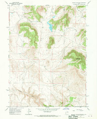
1967 Map of Crouse Reservoir
USGS Topo · Published 1970About this map
The high plateau and canyon country of the Utah-Colorado borderland are defined here by complex hydrological management and traditional land use. In this 1960s landscape, Crouse Reservoir stands as the central landmark, fed and drained by a network of seasonal watercourses and man-made interventions, including a notable Ditch system and the winding Pot Creek. The terrain is marked by significant topographical relief, transitioning from the heights of Hoy Mtn down through the carved drainage of Diamond Gulch. Evidence of ranching or agricultural infrastructure is sparse but present, such as a lone storage bin near the reservoir and various unimproved paths like Mail Draw. The map captures the remote nature of the Uintah and Daggett County boundary before modern developments changed the character of these high-altitude watersheds.
Find a feature on this map
15 named features on this map. Tap any name to fly to it.
Don’t see what you’re looking for? This feature index may not catch every label — zoom into the map to look around manually.
Map Details
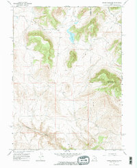
Editions of this 1967 Crouse Reservoir Map
2 editions found
Other maps of this area

1885 · Ashley
USGS Topo · 1:250,000

1950 · Blair Basin
USGS Topo · 1:24,000

1952 · Warren Draw
USGS Topo · 1:24,000

1952 · Swallow Canyon
USGS Topo · 1:24,000

1954 · Vernal
USGS Topo · 1:250,000

1955 · Island Park
USGS Topo · 1:24,000

1955 · Jones Hole
USGS Topo · 1:24,000

1958 · Vernal
USGS Topo · 1:250,000

1960 · Vernal
USGS Topo · 1:250,000
1966 · Jensen Ridge
USGS Topo · 1:24,000