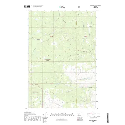
2020 Map of Crow Creek Falls
USGS Topo · Published 2020About this map
Crow Creek Falls and the headwaters of the Helena National Forest define this high-elevation landscape along the boundary between Jefferson and Broadwater Counties. The map reveals an intricate network of alpine meadows and high parks, including Airplane Park, Manley Park, and Poe Park, which appear as distinct clearings amidst the forested drainage basins of Crow Creek and Moose Creek.
Find a feature on this map
68 named features on this map. Tap any name to fly to it.
Don’t see what you’re looking for? This feature index may not catch every label — zoom into the map to look around manually.
Map Details
Editions of this 2020 Crow Creek Falls Map
This is the sole edition of this map. No revisions or reprints were ever made.
Other maps of this area

1886 · Fort Logan
USGS Topo · 1:250,000

1948 · White Sulphur Springs
USGS Topo · 1:250,000

1949 · Radersburg
USGS Topo · 1:62,500

1950 · Devils Fence
USGS Topo · 1:62,500

1950 · Townsend
USGS Topo · 1:62,500

1950 · Clancy
USGS Topo · 1:62,500

1958 · White Sulphur Springs
USGS Topo · 1:250,000

1961 · White Sulphur Springs
USGS Topo · 1:250,000

1965 · White Sulphur Springs
USGS Topo · 1:250,000

1976 · Townsend
USGS Topo · 1:100,000