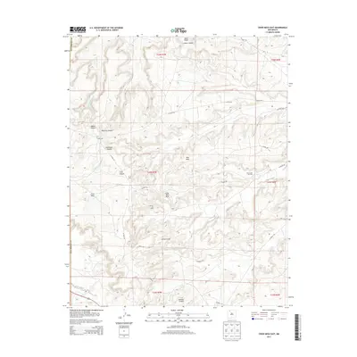
2013 Map of Crow Mesa East
USGS Topo · Published 2013About this map
Crow Mesa and Little Blue Mesa dominate this high-desert landscape in San Juan County, where natural resource extraction and rugged terrain define the local geography. The map captures an era of industrial activity marked by the Devils Fork Gas Field and the Escrito Oil Field, connected by a network of local thoroughfares such as CO Road 503 and CO Road 377. Settlement is sparse, represented by the B C O Camp located near the center of the survey. The drainage patterns are clearly delineated through systems like Rincon Largo, Palluche Wash, and Blanco Wash, which cut through deep canyons including Adams Canyon and Johnson Canyon. This 2013 survey provides a detailed look at the infrastructure required to maintain energy operations across the mesa and ridge country near the Rio Arriba Co border.
Find a feature on this map
32 named features on this map. Tap any name to fly to it.
Don’t see what you’re looking for? This feature index may not catch every label — zoom into the map to look around manually.
Map Details
Editions of this 2013 Crow Mesa East Map
This is the sole edition of this map. No revisions or reprints were ever made.
Other maps of this area

1889 · Largo
USGS Topo · 1:250,000

1895 · Largo
USGS Topo · 1:250,000

1954 · Aztec
USGS Topo · 1:250,000

1958 · Aztec
USGS Topo · 1:250,000

1959 · Nageezi
USGS Topo · 1:62,500

1962 · Aztec
USGS Topo · 1:250,000

1963 · Tayfoya Canyon
USGS Topo · 1:24,000

1963 · Gonzales Mesa
USGS Topo · 1:24,000

1965 · Aztec
USGS Topo · 1:250,000

1966 · Lybrook NW
USGS Topo · 1:24,000