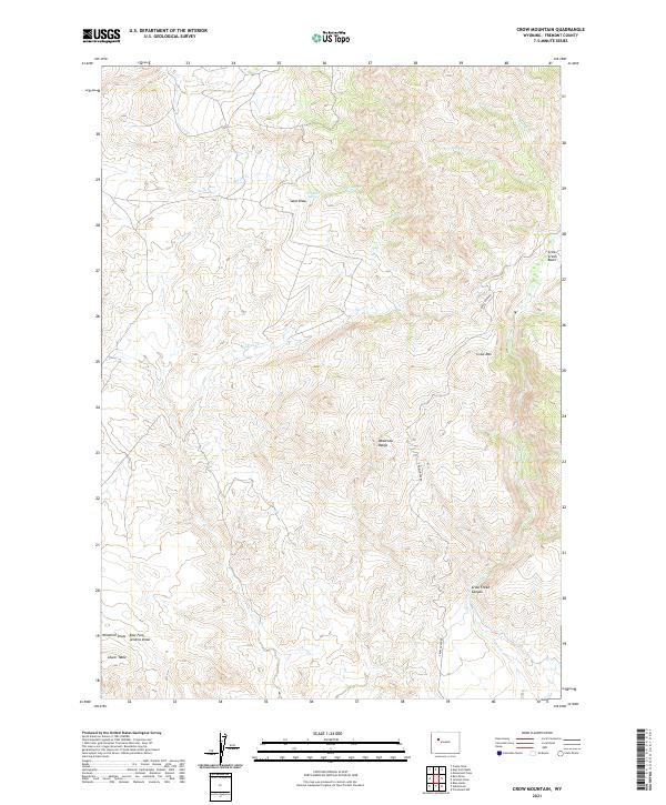
2021 Map of Crow Mountain
USGS Topo · Published 2021About this map
The eastern foothills of the Absaroka Range dominate this part of Fremont County, where the high desert meets the mountains. The landscape is defined by its dramatic drainage patterns, including the prominent Crow Creek Canyon and the surrounding Crow Creek Basin. Throughout this territory, water sources are scarce but critical, evidenced by named locations like Cantell Spring and several seasonal watercourses including Wildcat Cr and Spring Cr.
Find a feature on this map
21 named features on this map. Tap any name to fly to it.
Don’t see what you’re looking for? This feature index may not catch every label — zoom into the map to look around manually.
Map Details
Editions of this 2021 Crow Mountain Map
This is the sole edition of this map. No revisions or reprints were ever made.
Other maps of this area

1904 · Kirwin
USGS Topo · 1:125,000

1906 · Kirwin
USGS Topo · 1:125,000

1952 · Wilderness
USGS Topo · 1:24,000

1952 · Crowheart NW
USGS Topo · 1:24,000

1952 · Blue Holes
USGS Topo · 1:24,000

1955 · Thermopolis
USGS Topo · 1:250,000

1958 · Thermopolis
USGS Topo · 1:250,000

1962 · Thermopolis
USGS Topo · 1:250,000
1967 · Bain Draw
USGS Topo · 1:24,000

1967 · Monument Peak
USGS Topo · 1:24,000