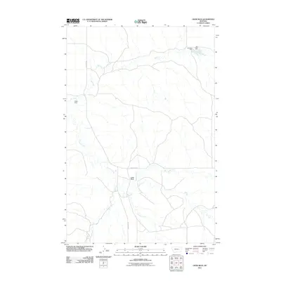
2011 Map of Crow Rock
USGS Topo · Published 2011About this map
Crow Rock serves as the focal point of this Eastern Montana landscape, situated at the junction of local transit routes and winding drainages. The map details a complex network of seasonal watercourses, including Crow Rock Creek and Wolf Creek, which carve through the terrain of Prairie County. In the northeast corner, the presence of Dinosaur Dam and Ash Creek Dam indicates the vital role of water management in this prairie environment. The settlement is linked to the surrounding country by Crow Rock Rd and Cherry Creek Rd, providing a clear view of the rural infrastructure during the early 21st century. The drainage patterns of Whites Creek and Hay Creek further define the local topography, offering a precise record of the hydrologic landscape as it existed in 2011.
Find a feature on this map
10 named features on this map. Tap any name to fly to it.
Don’t see what you’re looking for? This feature index may not catch every label — zoom into the map to look around manually.
Map Details
Editions of this 2011 Crow Rock Map
This is the sole edition of this map. No revisions or reprints were ever made.
Other maps of this area

1953 · Miles City
USGS Topo · 1:250,000

1954 · Jordan
USGS Topo · 1:250,000

1954 · Forsyth
USGS Topo · 1:250,000

1954 · Glendive
USGS Topo · 1:250,000

1956 · Jordan
USGS Topo · 1:250,000

1957 · Miles City
USGS Topo · 1:250,000

1957 · Glendive
USGS Topo · 1:250,000

1957 · Forsyth
USGS Topo · 1:250,000

1958 · Miles City
USGS Topo · 1:250,000

1958 · Jordan
USGS Topo · 1:250,000